Prepare for record-setting temperatures and heat warnings this week across the Okanagan-Shuswap.
Environment Canada meteorologist Doug Lundquist said the forecasted heatwave is unusual for this time of year with predicted record highs that donsa���ʴ�ý�t usually hit the Interior until the second week of July.
sa���ʴ�ý�Records for this time of year in Salmon Arm are in the mid-to-high 30s C and down in Osoyoos temperates have reached over 40 C for the end of June,sa���ʴ�ý� said Lundquist. sa���ʴ�ý�But itsa���ʴ�ý�s usual to have two weeks of high heat around the solstice.sa���ʴ�ý�
The average high for the end of June is 24 C, with Environment Canada forecasting rain, however, this week temperatures will be about 15 C above average.
sa���ʴ�ý�We had a really dry spring and usually we are looking to our monsoon weather, which we will not get this year,sa���ʴ�ý� he said.
Temperatures may reach 40 C on the weekend for the South Okanagan, Fraser Canyon and Trail area.
Environment Canada is expected to issue heat warnings as the week progresses and the mercury rises over 35 C, with possible overnight lows of 20 C.
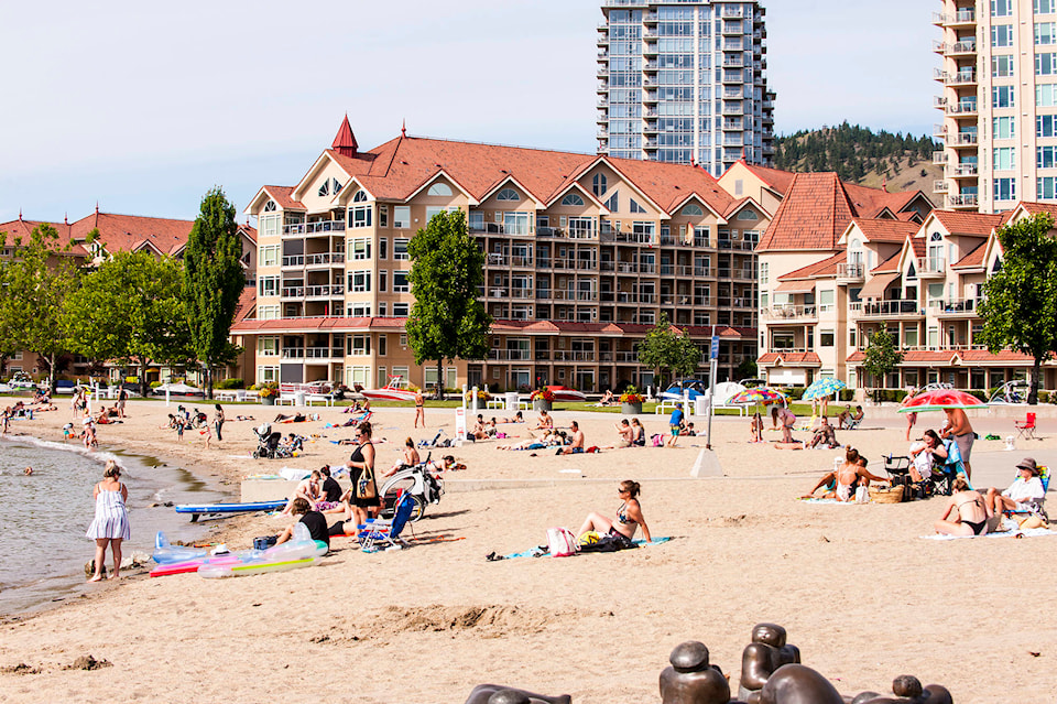
sa���ʴ�ý�Right now we really need to be thinking about the folks at BC Wildfire, we need to ensure we donsa���ʴ�ý�t impact them by starting fires. We have to be fire smart with this heat,sa���ʴ�ý� explained Lundquist. sa���ʴ�ý�The health and safety of animals and humans are really important right now. We should be making sure to hydrate and watch children in the sun if you are out at the beach.sa���ʴ�ý�
Lundquist also suggests checking the UV Index on the before heading outdoors. For Monday, the UV index is at 11 or extreme for much of the Okanagan-Shuswap.
READ MORE: Fire burning above Peachland
jen.zielinski@bpdigital.ca
Like us on and follow us on .


